In the old days, you used barometers, and GRIB files, and listened to SSB and VHF weather reports to round the Cape of Good Hope in South Africa.
Now there is just so much more to aid a sailor.
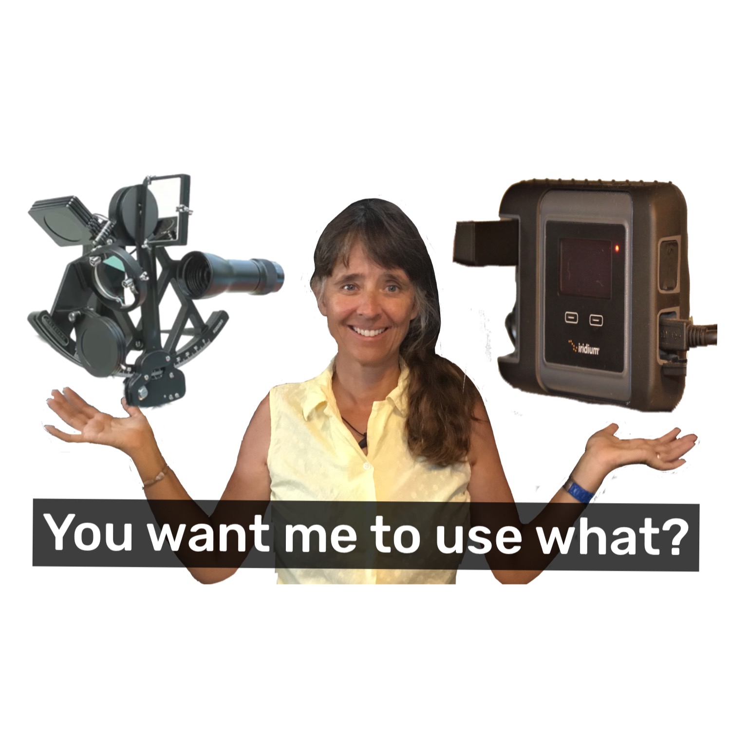
We used PredictWind Offshore for planning the trip when we had internet, and then during the trip using our Iridium GO! to get updates to know when it was time to seek shelter. This was probably our biggest tool for weather Routing using the ocean current models , as well as four wind and wave forecasts from Predictwind to make sure we got it right.
We would not sail any ocean now without the Iridium GO and the Professional version of Predictwind Offshore. I would simply refuse to leave the dock without it!
Here is the latest video with us sailing from Richards Bay, underway through lots of wind and speedy currents on the way to Cape Town. It’s part one of a 2 part series, as we need to seek refuge from an upcoming storm, in East London for a few days.


